
Riding
Best Horse Riding Routes in the UK: Hacking, Bridleways and Long-Distance Trails
A complete guide to the best horse riding routes and hacking destinations in the UK — South Downs Way, Pennine Bridleway, Dartmoor, New Forest, Eryri and expert advice on planning a safe hack.
By Debbie Irwin · 10 August 2026 · 12 min read
Updated UK guide: Where to ride, how to plan a safe hack, and some of the best long-distance and local riding routes across Britain — including the South Downs Way, Pennine Bridleway, Dartmoor, the New Forest and Eryri.
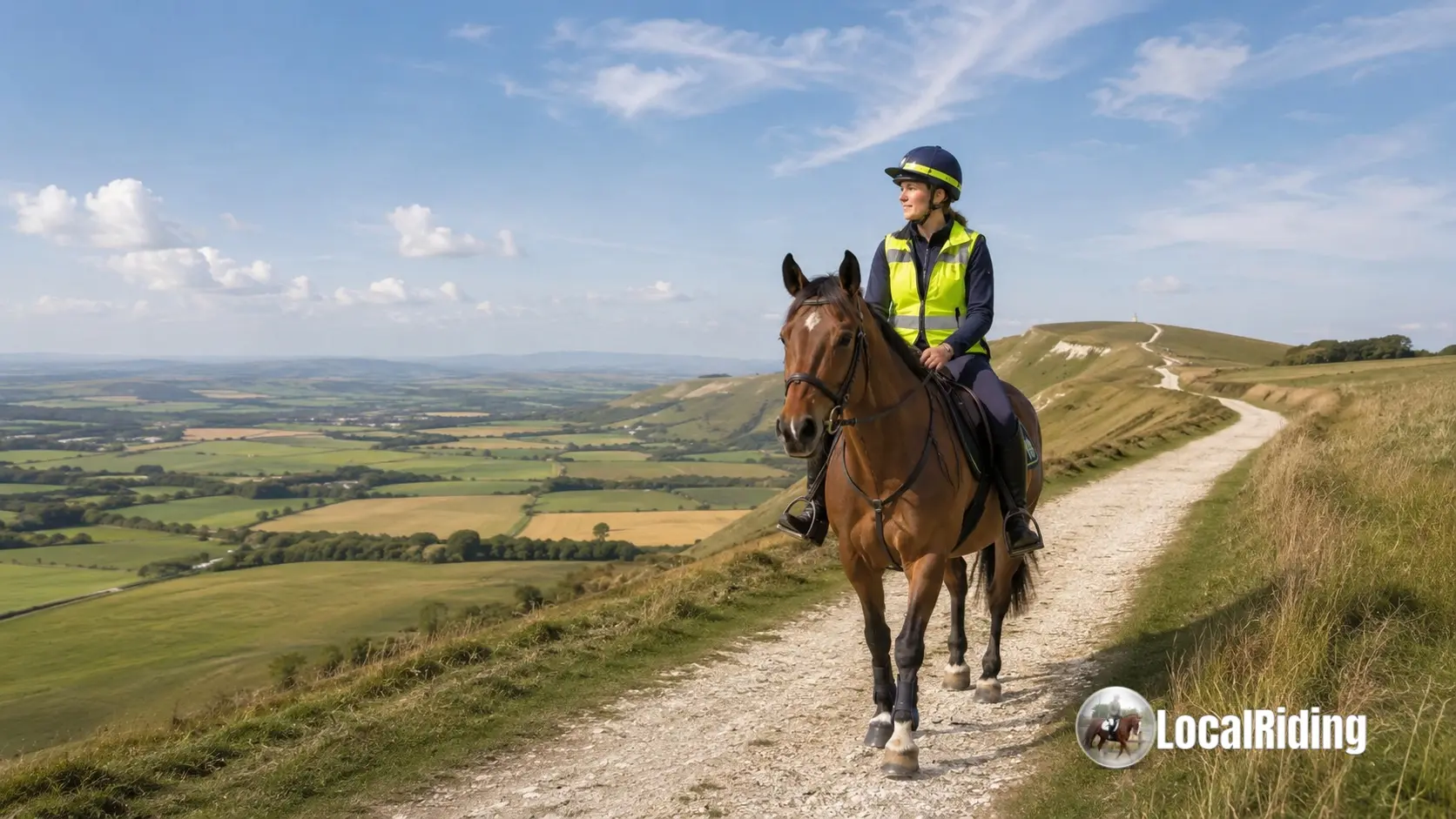 Horse and rider hacking along a chalk downland trail on the South Downs, UK
Introduction: Britain's Hacking Country
Britain has some of the finest hacking country in the world. From chalk downland and ancient ridgeways to forest tracks, open moorland, mountain bridleways and quiet rural lanes, the UK offers a remarkable variety of places to ride.
For many horse owners, hacking is not just a pleasant extra. It is essential for fitness, confidence, variety, mental wellbeing and a horse's education. A good hack can build bravery, improve straightness, strengthen muscles, expose horses to real-world sights and give both horse and rider a break from the arena.
However, good hacking in the UK takes planning. Access rules vary between England, Wales, Scotland and Northern Ireland. Bridleways may be fragmented, road crossings are often unavoidable, and not every route advertised for walkers is suitable or legal for horses. This guide explains how to plan safely and highlights some of the best riding areas and specific routes for UK riders.
Understanding Where You Can Ride
In England and Wales, horse riders generally have a right to use bridleways, restricted byways and byways open to all traffic. Riders may also use roads. Public footpaths are for walkers only unless there is specific permission for horse riding.
Bridleway access in England and Wales can be surprisingly limited. Many traditional horse routes were never formally recorded, and some areas have disconnected bridleways that force riders onto roads. This is why checking the legal status of a route before riding is important.
In Scotland, access law is different. The Scottish Outdoor Access Code provides for responsible access to most land and inland water, and horse riding is included, provided riders act responsibly, avoid damage and respect land management, livestock, wildlife and other users.
Dartmoor and the New Forest also have particular access traditions and local rules, so riders should check the relevant National Park or land manager guidance before setting out.
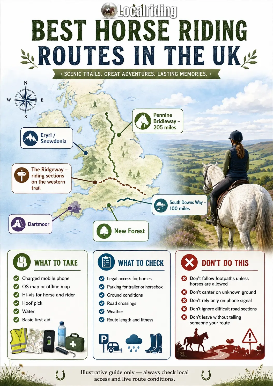 Infographic: Best Horse Riding Routes in the UK — what to take, what to check, and what to avoid on a hack
Planning Your Hack
Good route planning protects your horse, your safety and the future of equestrian access. Before setting out, use reliable mapping rather than relying only on social media route suggestions.
Useful Planning Tools
- Ordnance Survey Explorer maps: The 1:25,000 Explorer series is the most useful scale for riders because it shows bridleways, byways and restricted byways clearly.
- Local authority definitive maps: These are the legal record of public rights of way in England and Wales.
- BHS access resources: Useful for bridleway advice, reporting access issues and finding local equestrian access groups.
- National Trail websites: Essential for checking official route sections, diversions, seasonal issues and horse-riding suitability.
- National Park and Forestry England pages: Useful for local permissions, parking, route restrictions and event rules.
- Local riders: Yard owners, riding clubs and endurance groups often know which routes are actually rideable, safe and currently open.
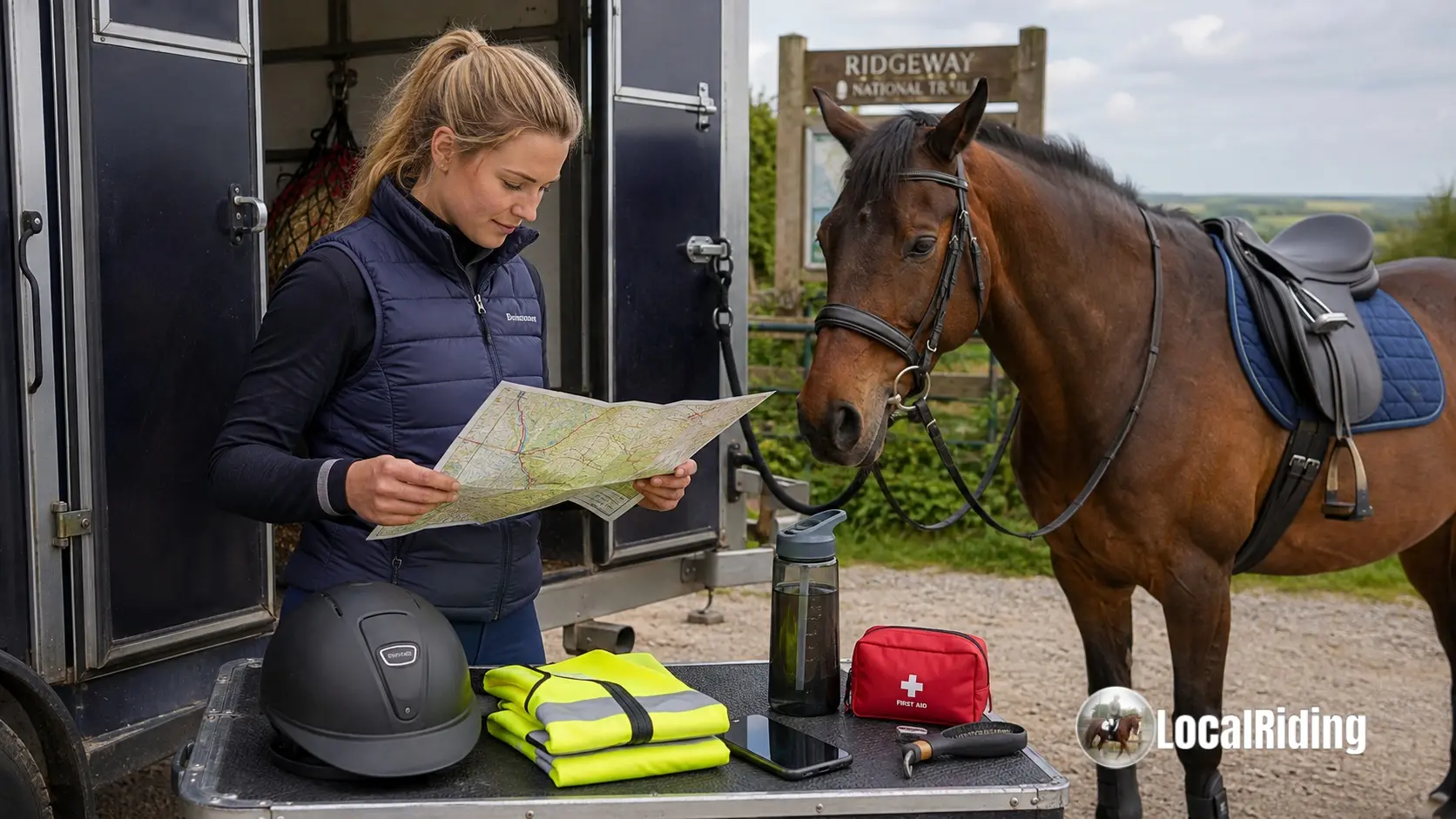 Rider planning a hack route with OS map and mobile phone before setting out
Before You Ride
- Check whether the route is legally open to horses.
- Confirm parking for horseboxes or trailers.
- Look for low bridges, cattle grids, narrow gates, steps, railway crossings or difficult road sections.
- Check ground conditions, especially after heavy rain.
- Plan water stops on longer rides.
- Tell someone your route and expected return time.
- Carry a charged phone, hoof pick, basic first aid and emergency contact details.
- Wear hi-vis, even off road.
Illustrative UK Horse-Riding Route Map
The map below is a simplified visual guide to the main areas covered in this article. It is not a navigation map. Always use OS mapping, National Trail guidance and local access information before riding.
Illustrative map of selected UK horse riding routes A simplified map showing selected riding destinations including the Pennine Bridleway, South Downs Way, Ridgeway, Dartmoor, New Forest, Eryri and Yorkshire Dales.
Yorkshire Dales
Pennine Bridleway
The Ridgeway
South Downs Way
Dartmoor
New Forest
Eryri / Snowdonia
Map is illustrative only — check OS maps, local authority records and live route notices.
Illustrative map of major UK hacking and long-distance riding areas mentioned in this guide.
Top UK Hacking Destinations
1. Yorkshire Dales
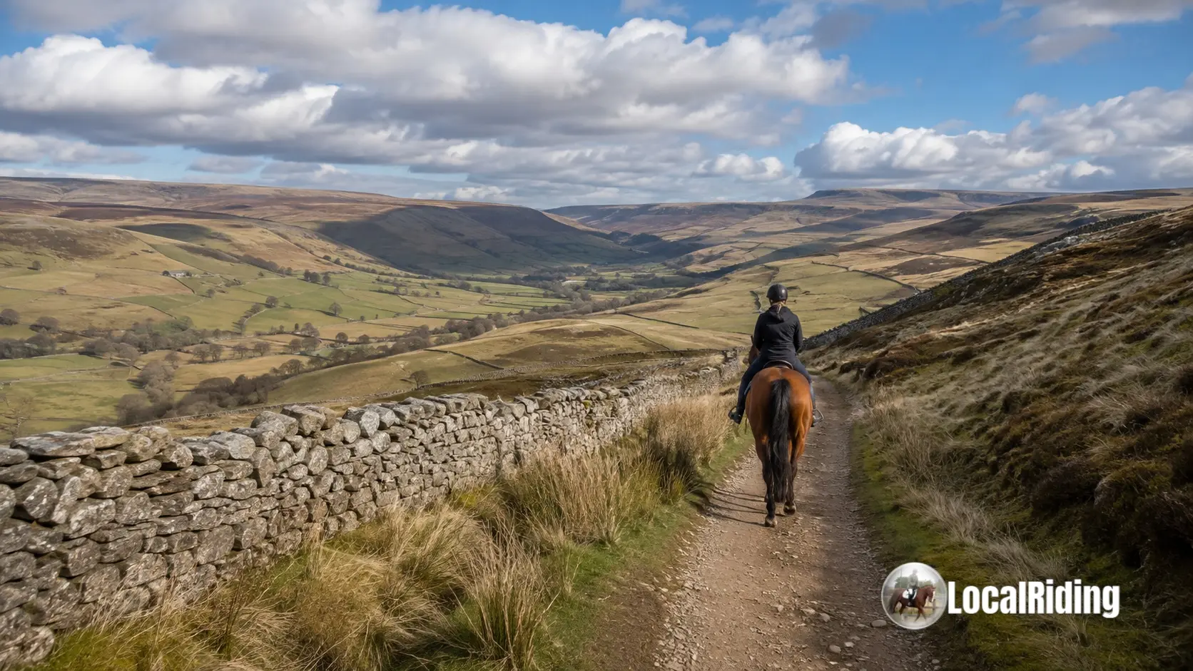 Horse and rider following a bridleway beside a dry stone wall in the Yorkshire Dales
The Yorkshire Dales offer classic upland riding: limestone tracks, moorland edges, packhorse routes, stone walls, river valleys and wide views. The riding can be rugged, exposed and remote, so it suits fit horses and competent riders who are comfortable with uneven ground and weather changes.
The Dales are especially strong for riders wanting more than a short local hack. Parts of the Pennine Bridleway pass through the Yorkshire Dales National Park, making the area particularly attractive for long-distance riding, endurance training and multi-day routes.
Good for:
- fit horses;
- experienced riders;
- hill work;
- long hacks and endurance training;
- riders who enjoy open country.
2. South Downs National Park
The South Downs offer some of England's best chalk downland riding, with long views, historic tracks, rolling hills and well-known bridleway networks. The ground can be excellent in wet periods compared with heavier clay areas, although chalk can become slippery in certain conditions.
The highlight is the South Downs Way, a 100-mile National Trail from Winchester to Eastbourne. It is one of the strongest long-distance choices for horse riders because the route is open to riders as well as walkers and cyclists.
Specific route ideas:
- South Downs Way: Winchester to Eastbourne — approximately 100 miles, usually tackled in sections or over several days with organised horse accommodation.
- Amberley, Ditchling Beacon and Alfriston sections — popular areas for shorter day rides, subject to parking and route planning.
3. Dartmoor, Devon
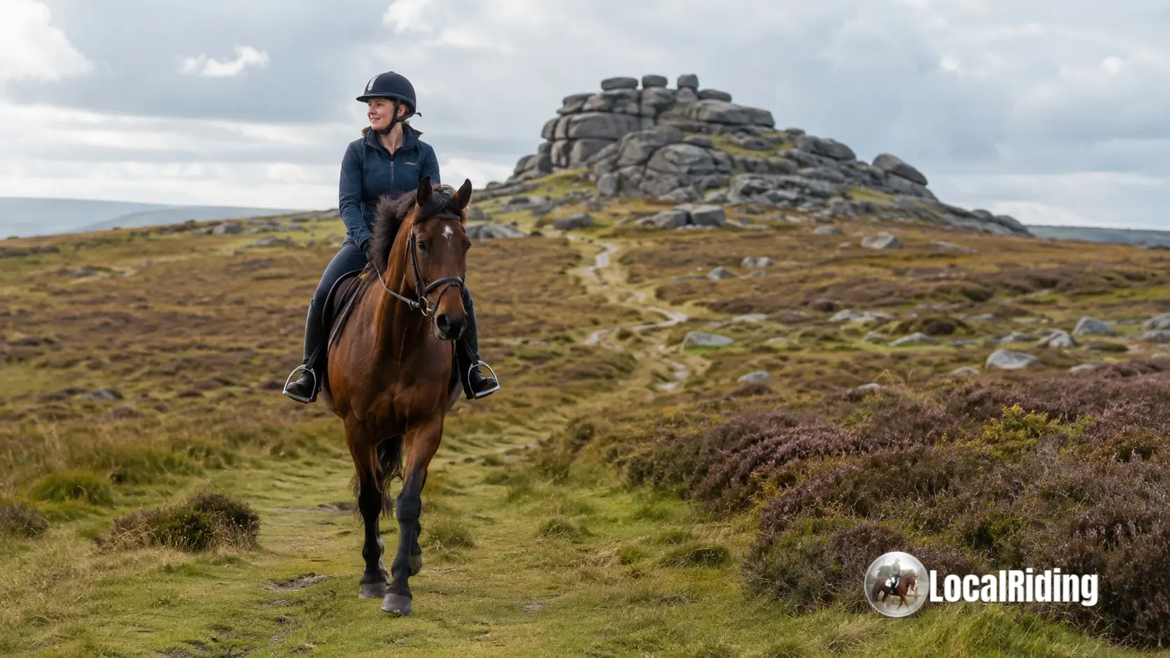 Horse and rider on open moorland on Dartmoor with granite tor in the background, Devon
Dartmoor is one of the most distinctive riding landscapes in England. Riders can experience open moorland, granite tors, commons, river crossings, forestry edges and ancient tracks. Public access on foot and horseback to Dartmoor commons is secured under the Dartmoor Commons Act 1985, making it unusually important for riders seeking open-country riding.
Dartmoor riding requires preparation. Weather can change quickly, fog can make navigation difficult, and ground conditions vary from firm tracks to boggy moorland. Riders should check military firing notices, local restrictions, livestock, ground conditions and suitable parking before setting out.
Good riding areas to research:
- Princetown area: central access to open moorland and established tracks.
- Burrator area: scenic riding with moorland and reservoir surroundings.
- Haytor and Widecombe area: dramatic open views and classic Dartmoor scenery.
4. The New Forest, Hampshire
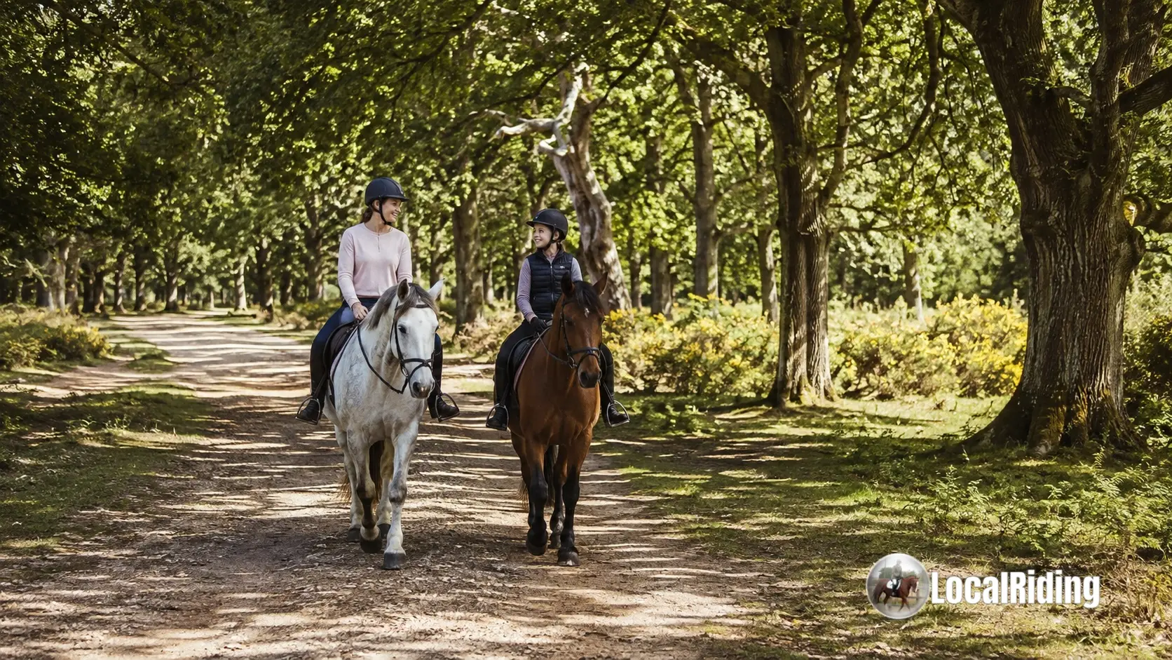 Two riders hacking together on sandy forest tracks in the New Forest, Hampshire
The New Forest is ideal for riders who enjoy woodland, heathland, sandy tracks and a varied but generally less mountainous landscape. Forestry England states that riders do not need a Forestry England riding permit to ride in the New Forest, although riders must follow local guidance and avoid damage, unsafe bridges and sensitive areas.
The New Forest is also a working landscape with free-roaming ponies, cattle, pigs at certain times of year, cyclists, walkers, dogs and vehicles. Riders should be polite, controlled and especially careful around livestock and other users.
Good for:
- family hacking;
- forest tracks;
- riding holidays;
- steady leisure riding;
- horses that enjoy varied but not overly steep terrain.
5. Eryri / Snowdonia, North Wales
Eryri National Park offers mountain riding, historic bridleways and dramatic scenery. The National Park authority notes that Eryri has extensive paths open to horse riders, but also warns that condition varies. Three bridleways lead to the summit of Yr Wyddfa: the Snowdon Ranger Path, Cwellyn Path and Llanberis Path.
These are not casual beginner hacks. Mountain routes demand fit horses, capable riders, suitable weather, careful timing, respect for walkers and detailed route planning. Riders should check seasonal restrictions, path condition and local guidance before attempting any major route.
Good for:
- experienced riders;
- mountain riding;
- fit horses;
- guided rides or carefully planned outings;
- riders comfortable sharing routes with walkers.
Best Long-Distance Riding Routes in Britain
South Downs Way
Distance: approximately 100 miles.
Route: Winchester to Eastbourne.
Why ride it: One of the best-known long-distance bridleway routes in England, with chalk tracks, panoramic views, historic villages and strong equestrian appeal.
Best for: confident riders, fit horses, organised multi-day riding, endurance-style preparation and riders wanting a recognised challenge.
Pennine Bridleway
Distance: approximately 205 miles.
Route: Derbyshire through the Pennines towards Cumbria.
Why ride it: The Pennine Bridleway was designed specifically for horse riders, cyclists and walkers. It passes through varied upland landscapes, including the Peak District and Yorkshire Dales.
Best for: experienced riders, long-distance enthusiasts, fit horses and riders wanting properly equestrian-focused trail infrastructure.
Mary Towneley Loop
Distance: approximately 47 miles.
Route: A circular loop in the South Pennines, forming part of the wider Pennine Bridleway network.
Why ride it: A recognised circular challenge with hills, tracks and moorland sections. Popular with endurance riders and those wanting a serious but shorter long-distance route.
Best for: fit horses, experienced hacking pairs, organised groups and riders who like circular routes.
The Ridgeway
Distance: the full National Trail is approximately 87 miles, but not all of it is promoted for horse riders.
Horse-riding section: the western section from Overton Hill / Avebury area to Streatley-on-Thames is the main horse-riding and cycling section.
Why ride it: Ancient chalk tracks, open views, historic landscape and excellent sense of travelling along one of Britain's oldest routes.
Best for: day sections, experienced leisure riders, fit horses and riders who enjoy historic routes.
Local Bridleway Loops
Not every great ride is a famous National Trail. Some of the best UK hacking comes from local loops built from bridleways, restricted byways, quiet lanes, permissive paths and farm tracks. Local riding clubs, endurance groups and BHS-affiliated equestrian access groups can be excellent sources of practical route knowledge.
Local Route Ideas by Rider Type
For Nervous or Returning Riders
- Choose short circular bridleway loops with minimal roadwork.
- Ride with a calm companion horse.
- Avoid open gallop stretches until confidence improves.
- Choose routes with good visibility and easy gates.
- Start with 30–60 minutes rather than planning a long day ride.
For Young Horses
- Use quiet lanes, familiar bridleways and steady company.
- Introduce traffic gradually.
- Keep first hacks short and positive.
- Avoid busy multi-user trails until steering, brakes and confidence are established.
- Do not overface the horse with long, tiring routes too early.
For Fit Horses and Experienced Riders
- Use hill routes for strength and stamina.
- Plan longer bridleway loops with water and rest points.
- Consider organised pleasure rides or endurance events.
- Build up gradually before attempting National Trail sections.
- Check footing carefully before canter work.
For Families and Riding Holidays
- Choose riding centres that know the area well.
- Use guided hacks if riders are inexperienced.
- Look for steady horses, clear safety briefing and suitable routes.
- Ask whether the ride includes roadwork, open spaces or steep ground.
- Match the ride to the least experienced rider in the group.
Riding Safety on UK Roads
Even the best bridleway routes often include road sections. Some rides require short road links between off-road tracks, while others involve crossing lanes, villages or busier roads.
Wear hi-vis clothing every time you hack. A bright tabard, jacket, hat band, horse leg bands, tail guard or exercise sheet can help drivers see you earlier. Hi-vis is useful in dull weather, low winter light, wooded areas and open country where riders may otherwise blend into the background.
Road Safety Checklist
- Use hi-vis on both horse and rider.
- Ride single file where traffic is narrow or visibility is poor.
- Use clear hand signals.
- Thank considerate drivers where safe.
- Avoid very busy roads if possible.
- Do not assume drivers understand horses.
- Choose road sections with good visibility and safe verges if available.
- Make sure your horse is prepared for traffic before hacking alone.
At road crossings, halt in a safe place, look and listen carefully, then cross promptly and decisively. If riding in a group, agree the crossing plan before you reach the road.
Multi-User Trail Etiquette
Many of Britain's best riding routes are shared with walkers, cyclists, runners, dog walkers, farmers and land managers. Good manners help protect access for everyone.
- Slow down when passing walkers, dogs, livestock or other horses.
- Call out politely before passing from behind.
- Thank people who move aside or control dogs.
- Keep to the line of the route where required.
- Do not canter past other users.
- Close gates as you find them.
- Avoid churning up wet ground.
- Respect livestock, crops and wildlife.
- Take litter home.
Seasonal Hacking Advice
Spring
Spring brings improving daylight but also soft ground, lambing, nesting birds and fast-growing grass. Keep dogs and horses controlled around livestock, avoid damaging wet tracks and be alert to fresh horses feeling well after winter.
Summer
Summer is ideal for longer rides, but heat, flies, hard ground and busy tourist areas can create issues. Ride early or late in hot weather, carry water on longer routes and avoid prolonged fast work on hard tracks.
Autumn
Autumn hacking can be beautiful, but leaves may hide holes, roots or slippery surfaces. Shooting activity, low sun and shorter days should be considered when planning routes.
Winter
Winter requires extra caution. Ice, mud, low light and flooded tracks can make familiar routes risky. Use hi-vis, avoid icy lanes, check waterlogged ground and allow more time than usual.
What to Carry on a Longer Hack
- Charged mobile phone in a secure pocket, not attached to the saddle.
- Emergency contact card.
- Hoof pick.
- Small first aid kit.
- Folded map or downloaded offline map.
- Water and snack for the rider.
- Lead rope or spare rein.
- Hi-vis or reflective equipment.
- Lightweight waterproof layer.
- Boot or hoof protection if your horse needs it.
Common Hacking Mistakes
- Following a walking route: Footpaths are not automatically open to horses.
- Relying only on phone signal: Rural and upland areas may have poor coverage.
- Ignoring road links: A route may look off-road but still include difficult road sections.
- Overestimating fitness: Long hills, deep ground and stony tracks are tiring.
- Not checking gates and obstacles: Some bridleways include awkward gates, bridges or narrow sections.
- Cantering on unknown ground: Holes, stones and slippery patches can be hidden.
- Going alone too soon: Young, nervous or newly purchased horses often need calm company.
How to Find More Local Routes
To find routes near your yard, start with an OS Explorer map and identify bridleways, restricted byways and byways. Then check whether they connect into a safe loop or whether road sections are required. Local authority rights-of-way maps can help confirm legal status.
Riding clubs, endurance groups, BHS access volunteers, yard owners and local equestrian Facebook groups can provide useful practical knowledge, but always verify legal access yourself. A route being "used by everyone" does not necessarily mean it is legally recorded or safe.
Where access is blocked, unsafe or unclear, report the issue through the appropriate local authority or equestrian access organisation. Protecting access is a shared responsibility.
Final Thoughts
Britain's bridleways, byways, forest tracks, commons and long-distance trails offer superb riding, but the best hacks are planned carefully. Check legal access, match the route to your horse's fitness and temperament, wear hi-vis, respect other users and adapt to the season.
For a short confidence-building ride, a local bridleway loop may be perfect. For a bigger adventure, the South Downs Way, Pennine Bridleway, Ridgeway riding sections, Dartmoor, the New Forest and Eryri all offer memorable experiences. The right route is the one that keeps horse and rider safe, relaxed and wanting to go again.
Debbie Irwin
Livery Yard Manager & Equestrian Professional
Debbie has run professional showing yards and mixed livery yards in Lincolnshire and Essex for over 30 years. She has competed and taught at various levels. She writes about practical horse health, yard life, livery and everyday horse health and management.
Support Debbie on Ko-fi ☕Found this guide helpful? LocalRiding is run independently without ads. If you'd like to chip in towards the site's upkeep, you can buy Debbie a hot drink on a cold day on Ko-fi, she'll really appreciate it.